The Shale Revolution
The “Shale Revolution” refers to the combination of hydraulic fracturing and horizontal drilling that enabled the United States to significantly increase its production of oil and natural gas, particularly from tight oil formations, which now account for 36% of total U.S. crude oil production. This new production capacity has reduced the United States’ dependence on oil imports from overseas and continues to provide an important economic boost as the country recovers from the 2008 recession.
Hydraulic fracturing is a well-stimulation technique that allows energy producers to tap into challenging geographic formations. This technology has been around since 1947, hydraulic fracturing — in combination with horizontal drilling — has spurred the Shale Revolution in the United States. There are over one million hydraulically fractured wells in North America, and the National Petroleum Council estimates that this technology will eventually account for 70% of natural gas production in the United States.1
To hydraulically fracture a well, producers inject a mixture of pressurized liquid containing water, chemicals, and a proppant inside a wellbore to create cracks in the rock formation, allowing oil and natural gas to flow more freely.
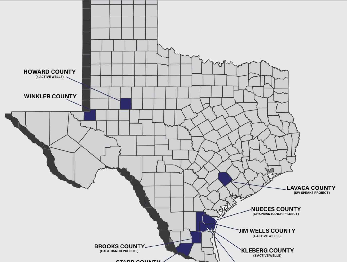
Permian Basin Wolfcamp shale
The Permian Basin is the largest oil and gas shale play in the United States
Developing thousands of acres that are encircled by hundreds of producing and successful wells.
Years of determining the best sections and “sweet spots” within the Wolfcamp shale formation and the most efficient and effective procedures for the generation of the greatest profit margins and monthly cash flows.
Currently in the final stages of development in preparation for possible divestiture.
Pipelines and infrastructure in place.


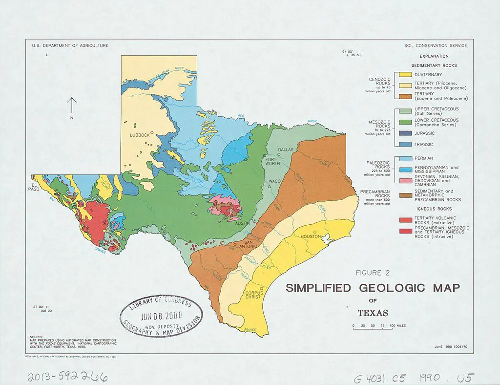
Insights Into Texas Geologic Map
The Texas Geologic Map provides a comprehensive visual representation of the geological formations and structures within the state of Texas. Created by geological experts and institutions, this map is a valuable tool for understanding the diverse and complex geology of the region.
Here are some basic points about the Texas Geologic Map:
Geographic Scope: The map covers the entire state of Texas, showcasing the geological features that make up its varied landscape, including plains, mountains, basins, and coastal regions.
Formation Identification: Different geological formations are color-coded and labeled on the map, allowing users to easily identify and study the various rock layers, sediments, and structures present in Texas.
Topographic and Bathymetric Details: In addition to land-based geology, the map may include topographic and bathymetric information, providing insights into both surface features and underwater geological formations in coastal areas.
Fossil Sites: Fossil-rich areas and significant paleontological sites may be highlighted on the map, offering a glimpse into the prehistoric history of Texas and the ancient life forms that once inhabited the region.
Natural Resource Exploration: The map is a valuable resource for industries such as oil and gas exploration, mining, and groundwater management. It aids in identifying potential resource-rich areas and understanding the subsurface geology.
Fault Lines and Earthquake Risk: Fault lines and seismic zones are often indicated on the map, providing essential information for assessing earthquake risk and understanding the tectonic activity in the region.
